I’m now working for SkyTruth on an exciting environmental “Big Data” project, Global Fishing Watch. Just last week, a number of my colleagues published a paper in Science, which you can read about in this blog post I wrote.
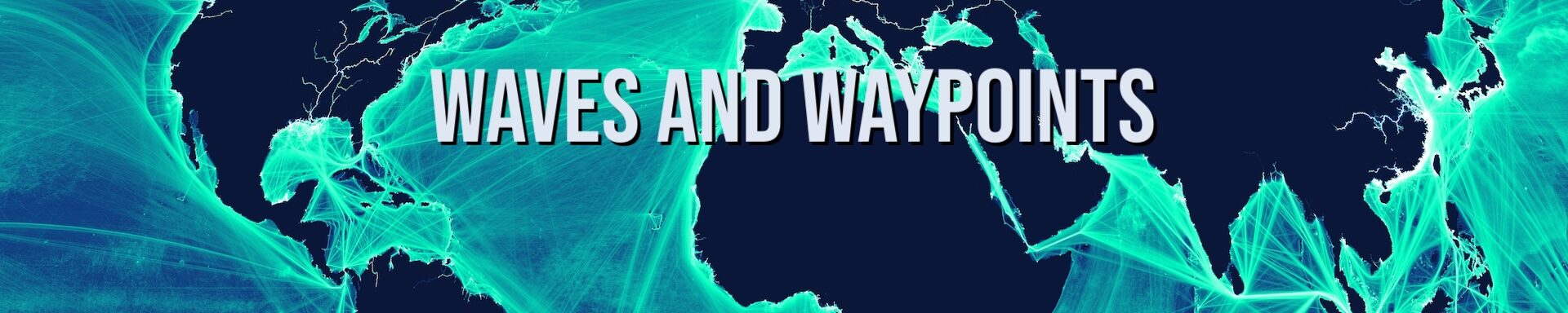
The key technology behind Global Fishing Watch is AIS – the “Automatic Identification System” that almost all large ocean-going vessels are required to carry. AIS transponders broadcast a vessel’s location and identity every few seconds to every few minutes. The system was originally designed as a ship-to-ship collision-avoidance system, but now we can use it to track, via satellite, the movements of large fishing vessels across the globe.
Below is a map I made from this AIS data, showing the movements of over 200,000 vessels in 2015.
